
| Tour Details | |
|---|---|
|
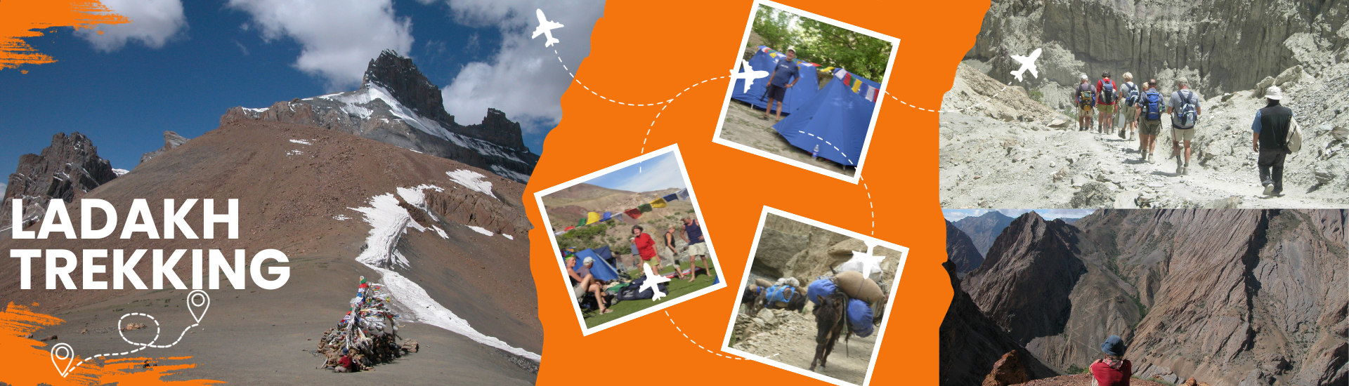
Duration of Trek: |
06 Days. |
|
Best Time: |
Mid June to September. |
|
Highest Point: |
Phitse La (5,582m) |
|
Focus: |
Landscape, Peaks and People Villages |
|
Highlight: |
People, villages, high pastureland and Landscape |
|
Physical Challenge: |
High Altitude Trek, Challenging |
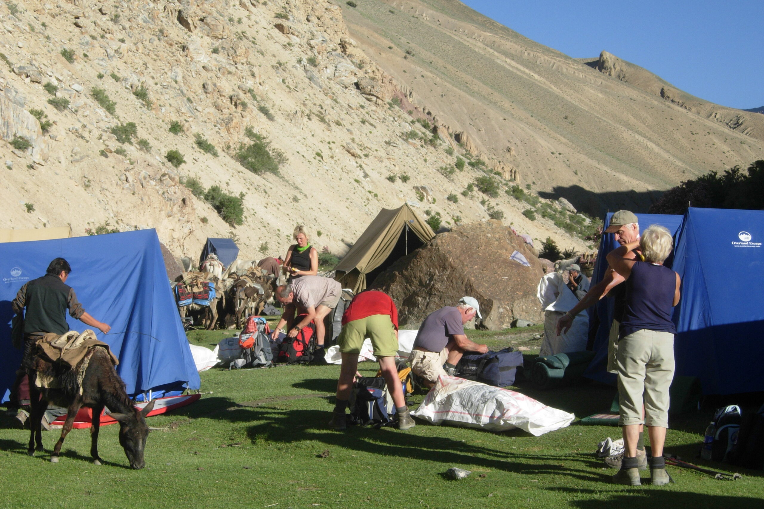
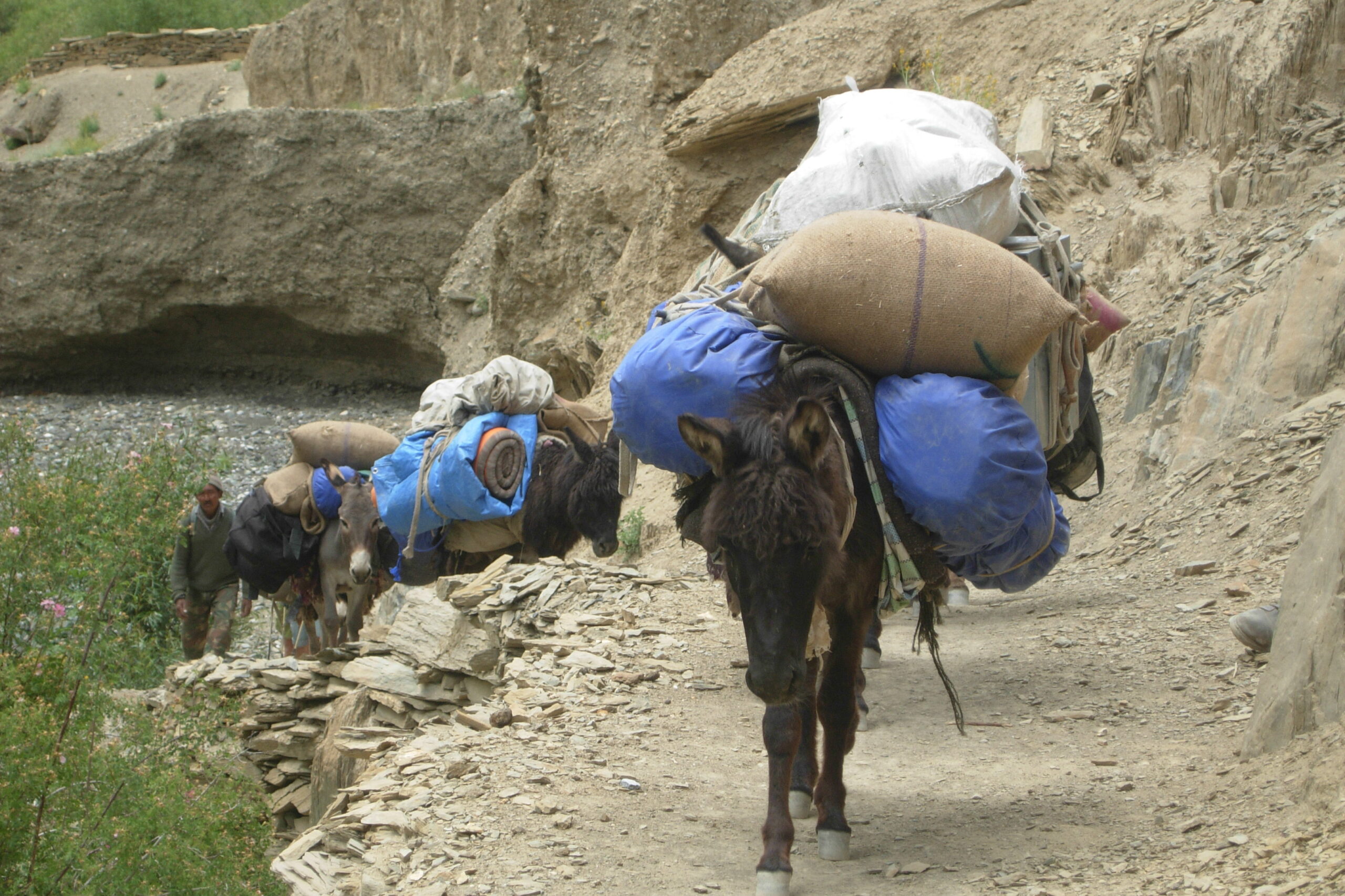
Drive by car from Padum till the very end of the road (in 2012 it was up till only Anmo). An early start might offer you more time for sightseeing of the gompas on the way like Bardan and Mune. At the end of the road, you’ll meet the horses and you’ll start from the left side of the river. The path leads high along the river through small villages/houses. You’ll finish the first trekking day in the district main quarter of Cha, a bigger village at 3.900 m. You can choose if you want to put up the tent or prefer one of the comfortable homestays to experience a little more of the life of the villagers. (If you want, you can add a day here trekking to Phuktal with its famous Gompa and walk back to Purne, walking-time around 4 hrs. In total, giving enough time to explore the monastery as well. The walking-time for the next day will be 1 hr lesser from here)
Get down to the bridge, cross the river and climb up again. The path will lead you high above the river through the villages of Yal, Testa und Kuru. It is a nice and easy walk. Just before Tangtse there is again a small bridge to cross the river. Tangtse is a village located at around 4.000 m with 4 x 3-4 houses close together and huge fields around. There is an empty gompa high above the village.
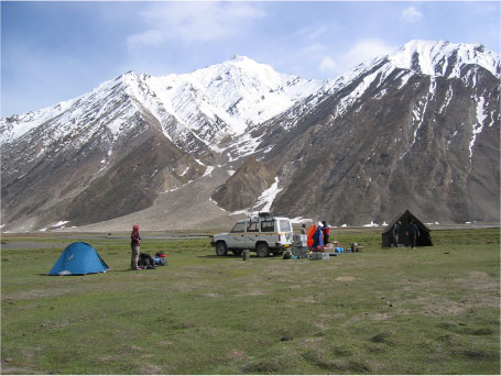
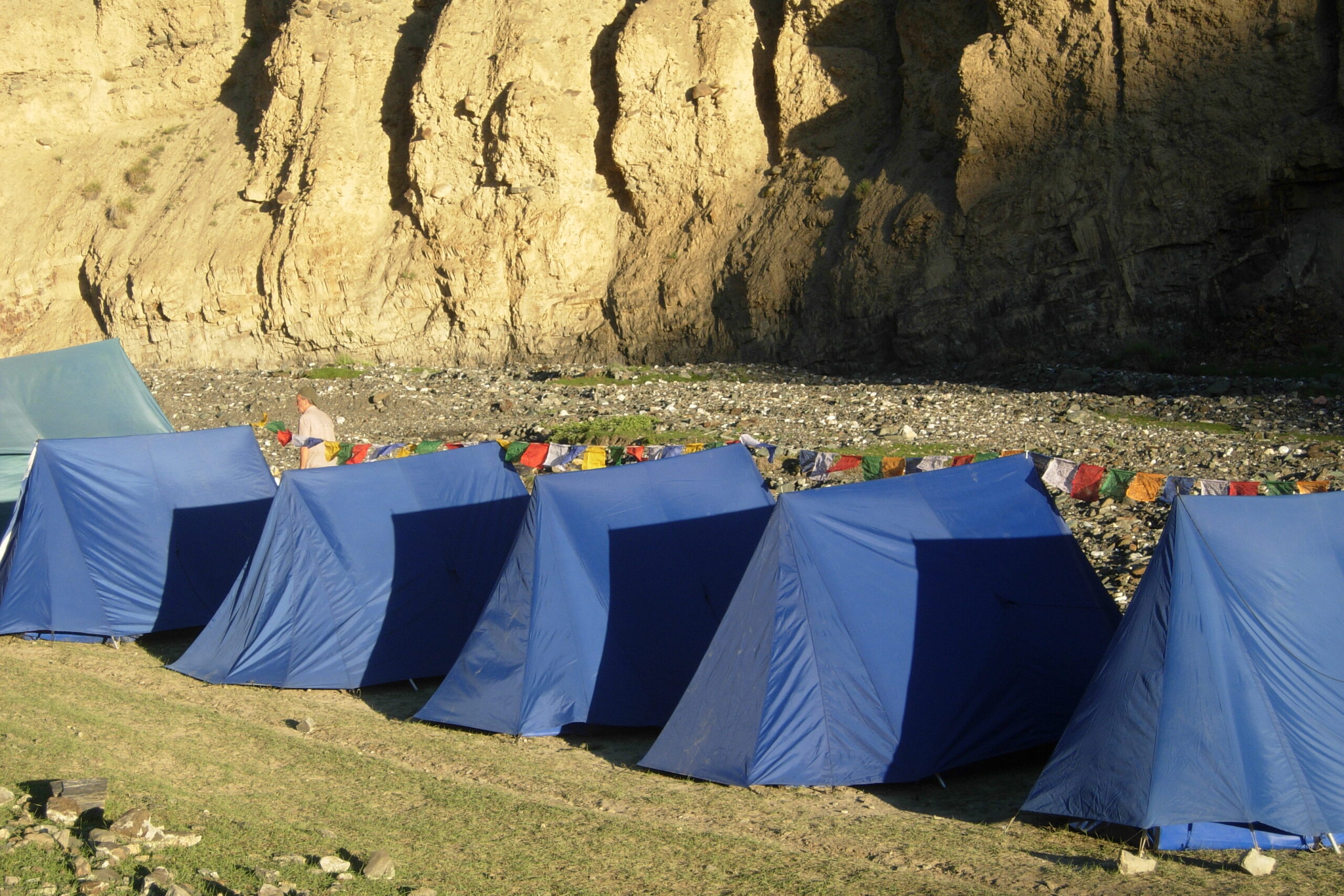
Continue on the same side of the river for the next 1-1.5 hours. You’ll reach Thabley, which consists of 2 houses. There you’ll enter a gorge ascending up into the mountains. Stay mostly on the left side, but sometimes you’ll have to cross (when there’s not much water, it’s easily done by jumping). Then you’ll leave the gorge on a high trail leading over ridges and back to the river at Zinchen at 4.600 m. You can either pitch your tent there or go a little higher, but there are only small spots for 2-3 tents.
Get up early in the morning since the trek towards and over the pass is quite long. Just keep on following the river up till you reach a nice place to take a rest and then descend down the pass. The climb is a little steeper until the top of the 5.582 m high pass, Phirtse-la. There you’ll have a spectacular view of the surroundings. Find a proper path to descend slowly downwards until you reach a broader valley called Churmik Marpo at 4.750 m. Camp there.
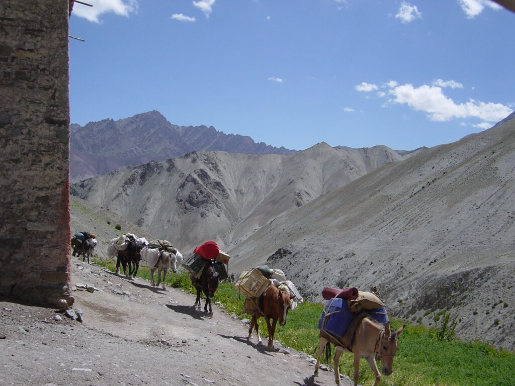
Follow the river down on the left side. You’ll see many marmot-holes, but very rarely one spots these shy animals. Before the river runs through a small gorge, you’ll have to cross it either on horseback or walk through the water. Continue on that side until the river flows into the bigger Lingti-River at Kham Kherab. There you’ll have to cross again. Kham Kherab is at 4.470 m and from here on, it is more or less like flat walking with only short ascents and descents. There are plenty of camping-possible sites along the Lingti-River. We suggest you go to Umlung at 4.440 m.
You continue walking on the right side of the Lingti-River (in the Olizane-map there is a path on the other side, too, which is wrong). On reaching the junction you could decide to have a long way to Killang Serai or you could continue just to Sarchu. There you’ll meet the Tsarap River, which has to be crossed and after that you’ll reach Sarchu at 4.300 m with a lot of Dhabas that offer food and night-shelter. From here, you can continue by road either to Leh or Keylong.