
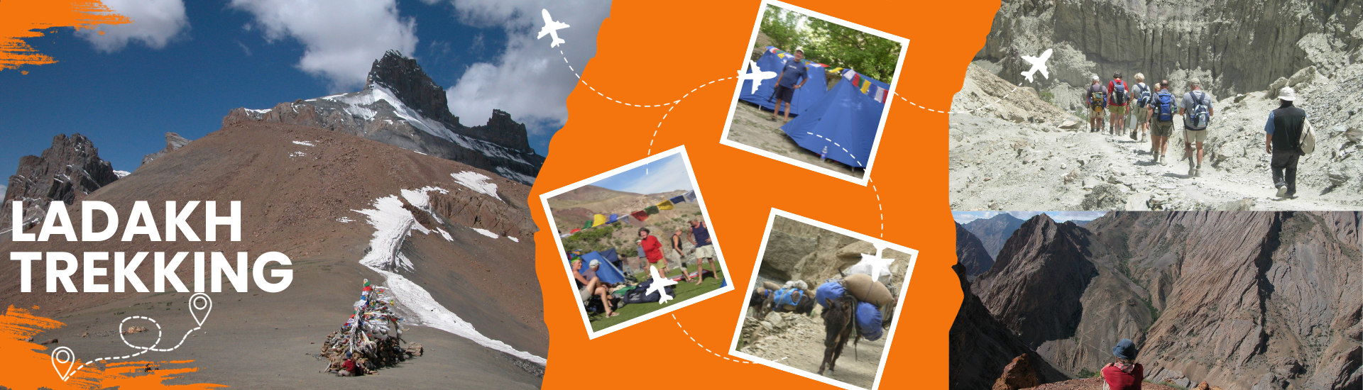

| Tour Details | |
|---|---|
|
Duration of Trek: |
07 Days. |
|
Best Time: |
Mid June to September |
|
Highest Point: |
Zamjunmo-la (5,410m) |
|
Focus: |
People, Villages, Glacier and Lakes |
|
Highlight: |
People, Villages, Glacier and Lakes |
|
Physical Challenge: |
challenging |
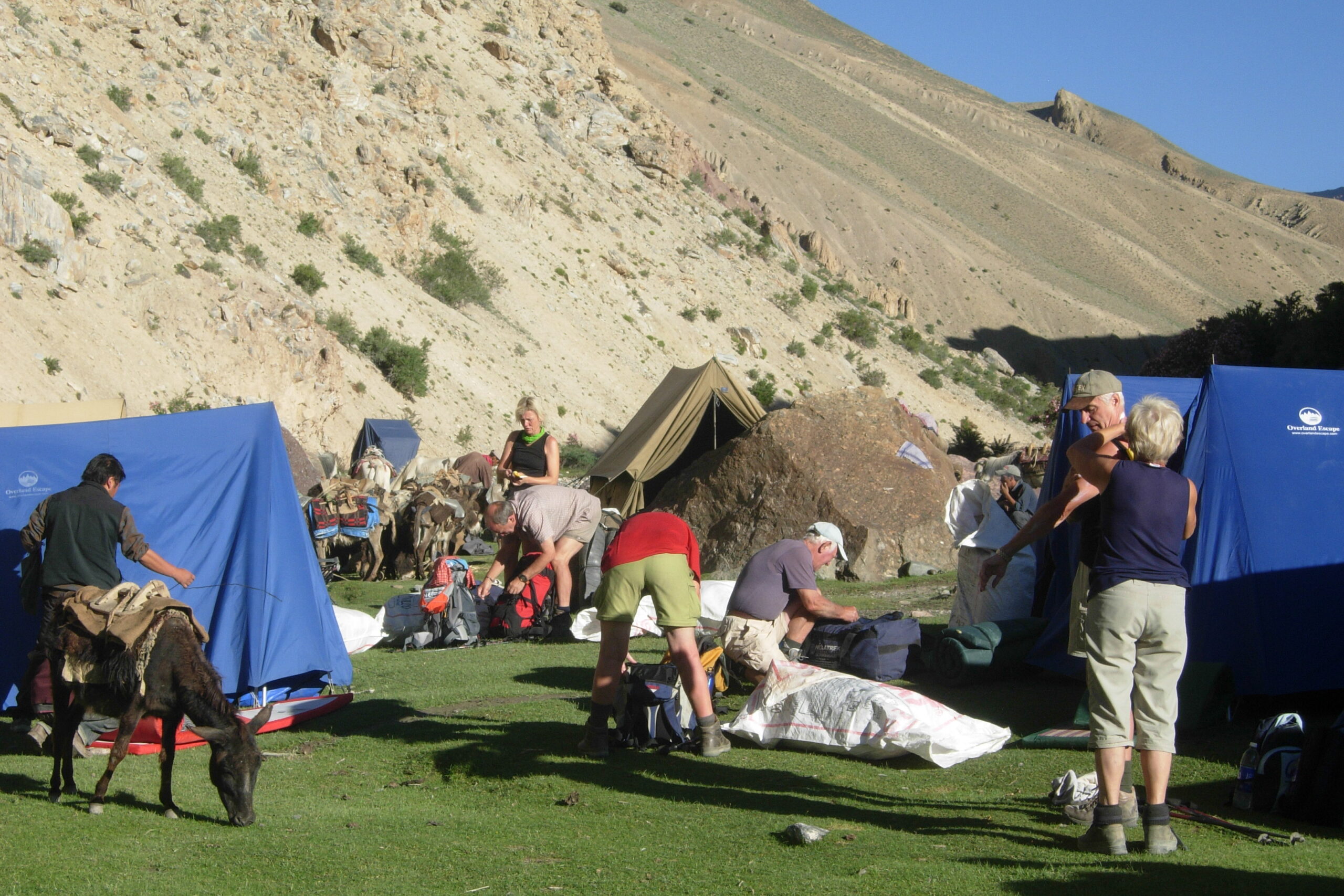
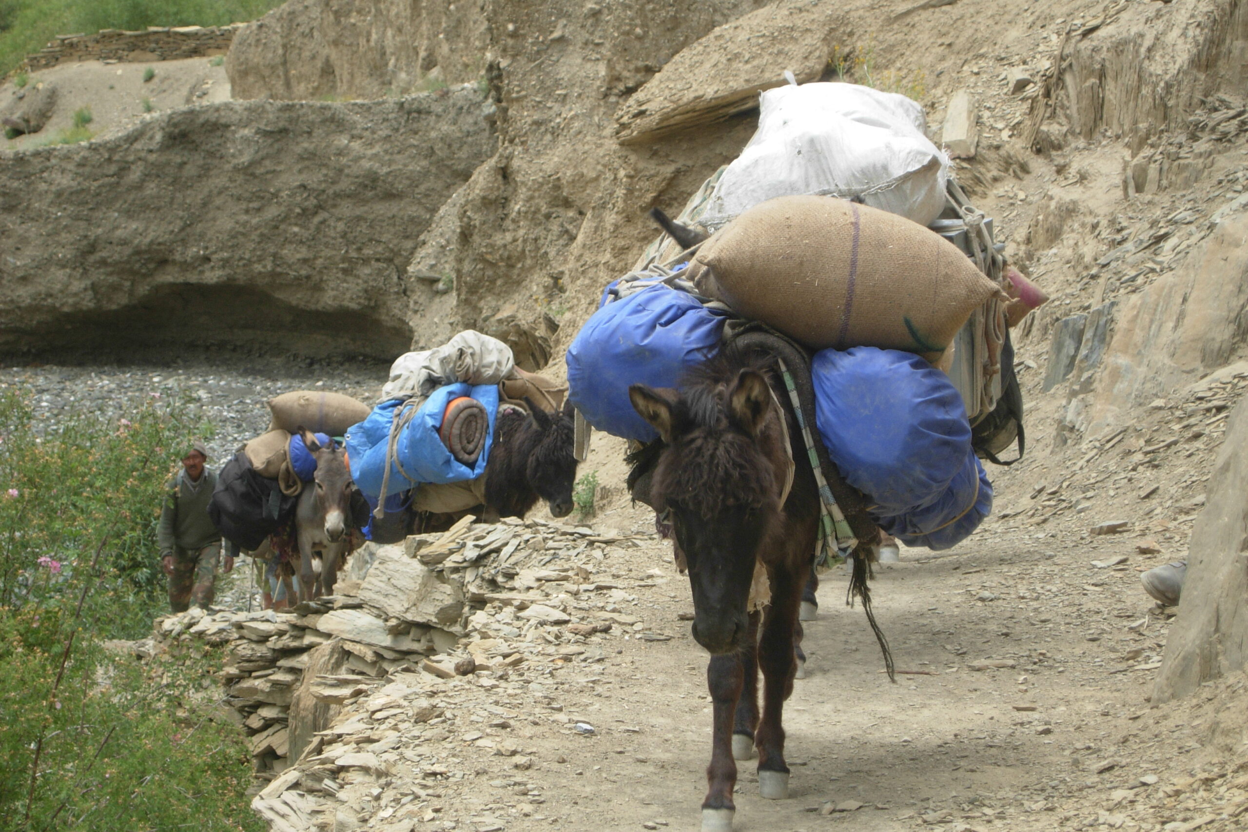
Drive from Leh to Tia. One can cut the drive into more than one day as there are many interesting monasteries such as Spituk, Phiyang, Basgo, Likir, Alchi and Rizong on the way. Tingmosgang, a huge village below Tia, is also worth spending a day with walking possibilities around. In Tia you can find a nunnery and two monasteries (Tia and Khatsa). The Trek starts just below the bridge on the right side of the Phacha Tokpo River at an altitude of 3.445 m. After leaving behind the last of the houses, one comes across a huge prayer-wheel and from there continue the ascent towards Tia Dok, a former summer village site which now consists of empty small huts and bare fields, not cultivated for more than 5 years. There are many pleasant camping-possibilities, the highest on 4.000 m on a patch of grass with small rivers.
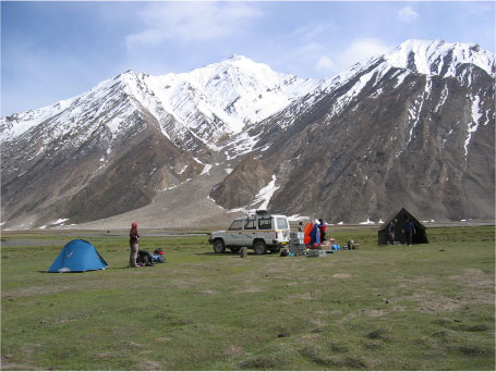
Follow the river always on the east side towards the North. There is a path one has to follow which goes steadily upwards. After reaching 4.600 m, one has to cross 2-3 streams coming from the east, which shouldn't be a problem. When having difficulties with the altitude it is advisable to have an additional camp here as afterwards there are rare possibilities. At 5.000 m there are two beautiful lakes with camping possibilities in between.
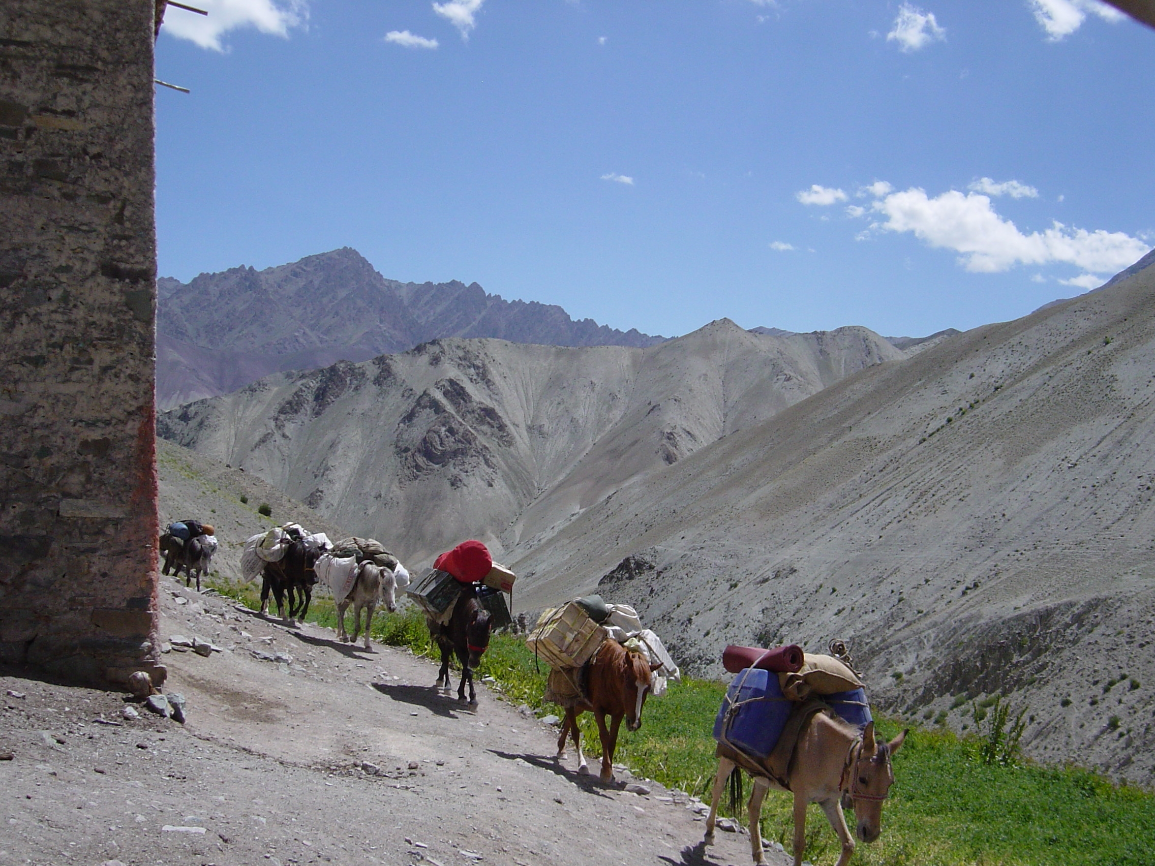
Getting higher and higher to the North, one comes across two more lakes at 5.100 m. The scenery is really spectacular here with vast rocky areas including beautiful lakes, higher peaks and passes on three sides and glaciers very close by. The last 100 m of altitude to the pass are quite steep over loose rocks and one needs Schwindelfreiheit und Trittsicherheit. Especially with groups and horses one has to take care of stone-falls and small landslides. Finally the pass is reached and it offers great views on all sides. On the north-side is a glacier-field of around 1 km without crevasses to cross and go down. The terrain after that is quite loose with rocks at first and exhausting to walk, but later it becomes better and a path more obvious. The first Camping-possibility is at 5.030 m, but one can continue a bit as there are more possible sites after every half an hour of walking.
Always following the Spangmarmo river, sometimes on the west-, sometimes on the east side, one gets slowly lower. The path is still clear and changes between grass, boulder-areas and rocky flats. The river-crossings can be done without wading through – at least in late August. While going down one gets glimpses into other valleys. There is a rare wildlife to spot, but quite some Yaks belonging to the people from the lower villages. So some Doksas are inhabited by people collecting the dung as burning-material for the winter. Spangmarmo is such a Doksa. One can camp a little further away at 4.550 m.
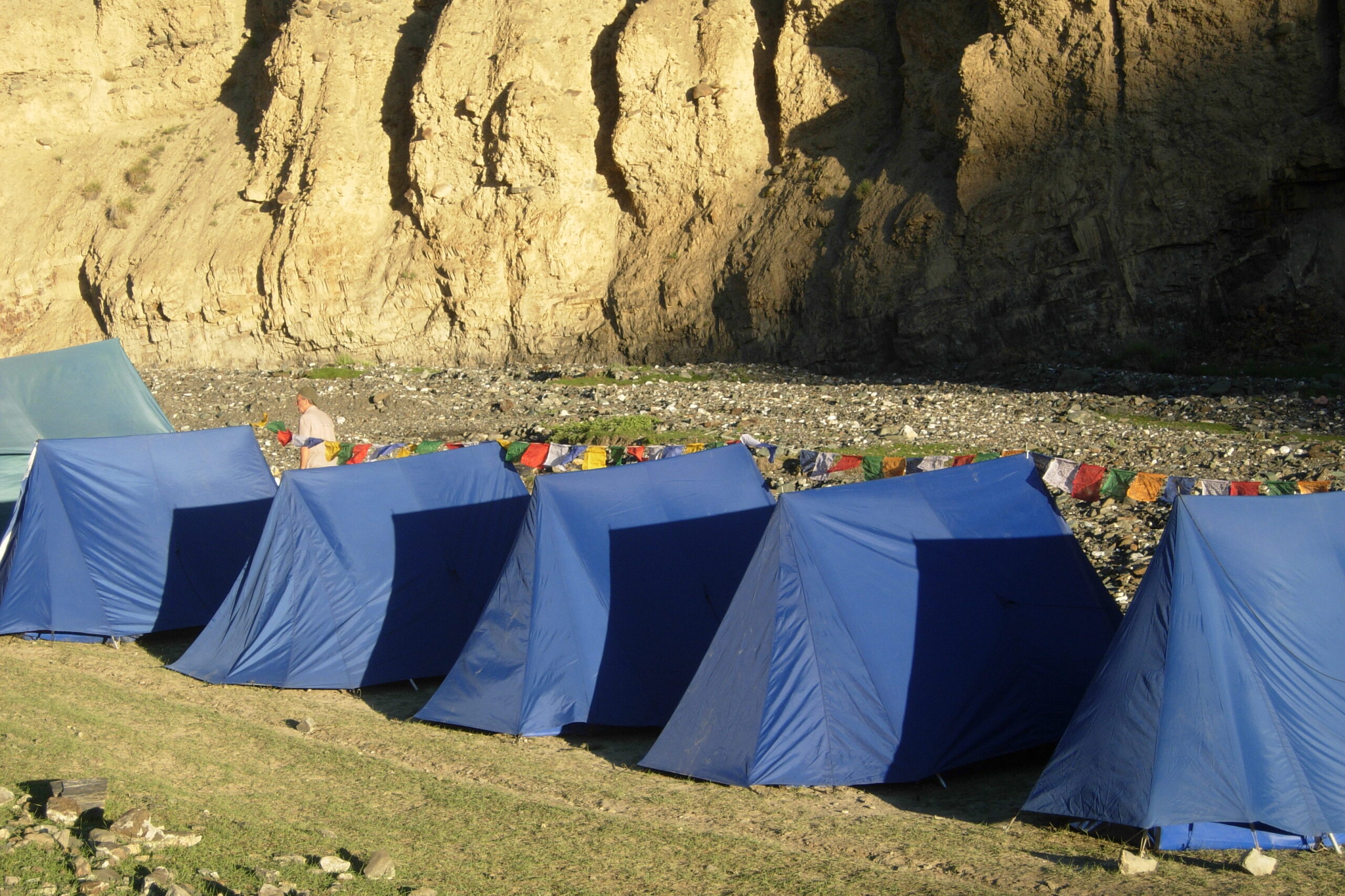
Still going down on the west side of the river one can spot in the village Gongma Lhargyab from a distance with approx. 20 houses, a primary school and a small gompa-room. One has to take care not to miss the way leading down to the bridge at the beginning of the village. Afterwards there is a second bridge to cross another river coming down from the mountains. Just before the village of Yokma Lhargyab is a camping-possibile area at 3.940 m
First, one should take the opportunity to discover a bit more of Yokma Lhargyab, one of the rarest places in Ladakh, where buddhist families keep chicken and the middle school consist of 11 children. The quality of the school is not so bad for a government-school as they have good and dedicated teachers, singing with them every morning, “We shall overcome“! They are happy to experience a little of their English language with the foreigners. The last bit of this trek leads along a gorge towards a muslim populated village called Pachathang. Pachathang is at 3.500 m of altitude and it’s a small vivid village with lots of children. After coming out of the village, there is a very deep and steep gorge, which needs to be crossed by a bridge to reach a non-tarred road of 7 km going down to meet the Nubra-Valley at 3.100 m
One can either choose to return or use the opportunity to discover more about the Nubra Valley, especially visiting the most western village of Turtuk that used to belong to Pakistan until 1971. It is a village situated at 2.880 m and it can harvest two crops a year (second is buckwheat), a mosque from the 16th century is also there and a little buddhist gompa maintained by the buddhist’s employees living in the village. Houses and people look quite different from the rest of Ladakh’s villages so it is like taking a glimpse of a whole other country. Also with the military camps and the military airport in Thoise, one can experience the exclusive situation of Ladakh’s location close to the Pakistan border. Afterwards one could visit the beautiful villages of Hundar and Deskit in the Nubra-Valley.